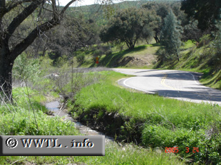
(Eastbound State Route 58; San Luis Obispo County, California)
--Photo taken by Carlos Rogers in 2005 ✔
Map Location: 35.42376, -120.5458![]()
State Route 58 at Calf Canyon. An unnamed creek parallels the road here.
Next
photo>>>
<<<Previous
photo
![]()
![]()
![]()
![]()
Distance Chart for
California 58
California 58
| Bakersfield, California | |||||
| 209 | Barstow, California | ||||
| 178 | 387 | Santa Margarita, California | |||
Approximate distance in km
(1 km = 0.621 miles)
(1 km = 0.621 miles)