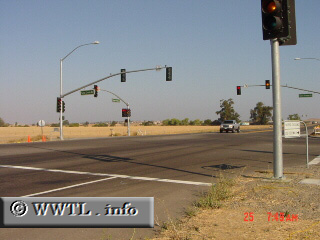
(Westbound on Future State Route 4; Brentwood, California)
--Photo taken by Carlos Rogers c. 2000s ✔
Viatype:S4-D
Map Location: 37.94324, -121.74132![]()
It's about time they get that Highway 4 bypass constructed! When completed, the bypass will travel through the east Antioch Hills, connecting to the existing State Route 4 freeway and State Route 160.
Next
photo>>>
<<<Previous
photo
 |  |
Distance Chart for
California 4
California 4
| Antioch, California | |||||||
| 46 | Hercules, California | ||||||
| 270 | 316 | Markleeville, California | |||||
| 60 | 106 | 210 | Stockton, California | ||||
Approximate distance in km
(1 km = 0.621 miles)
(1 km = 0.621 miles)