| | 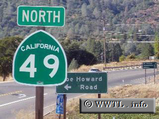
(Northbound State Route 49; Mariposa County, California)
--Photo taken by Dan Peri c. 2000s ✔
Viatype:S2-U
Map Location: 37.49286, -119.97431
Highway 49, referred to some as the Gold
Country (or Gold Chain) Highway, criss-crosses its way through the California
Sierra Nevada.
Next
photo>>>
| |