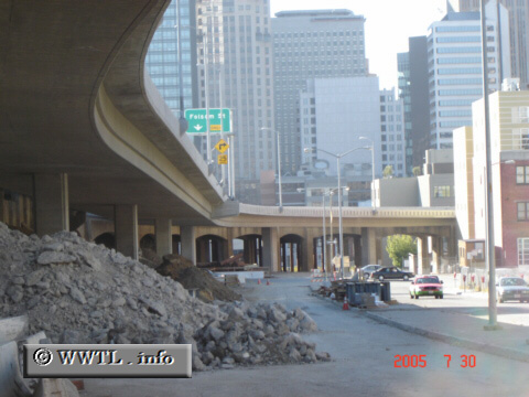
(Former location of northbound State
Route 480; San Francisco, California)
--Photo taken by Carlos Rogers c. 2000s ✔
Map Location: 37.78537, -122.39439![]()
The route's former right-of-way is overtaken by the new Fremont Street offramp.
Next photo>>>
<<<Previous photo
Distance Chart for
Former California 480
Former California 480
| Junction Clay/Washington | |||||
| 2.3 | Junction Interstate 80 | ||||
| 0.8 | 3.1 | North Beach, San Francisco | |||
Approximate distance in km
(1 km = 0.621 miles)
(1 km = 0.621 miles)