(Former State
Route 480; San Francisco, California)
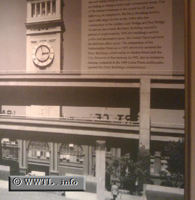
--Photo taken by Carlos Rogers c. 2000s ✔
Map Location:
37.7971, -122.39252![]()
This picture is on display at the Port of San Francisco Ferry Marketplace. Prior to 1989, Route 480 obstructed the Business District from an open view of the Port.
Distance Chart for
Former California 480
Former California 480
| Junction Clay/Washington | |||||
| 2.3 | Junction Interstate 80 | ||||
| 0.8 | 3.1 | North Beach, San Francisco | |||
Approximate distance in km
(1 km = 0.621 miles)
(1 km = 0.621 miles)