| | 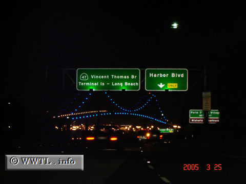
(Northbound State Route 47; San Pedro community, Los
Angeles, California)
--Photo taken by Carlos Rogers in 2005 ✔
Viatype:F4-D
Map Location: 33.74853, -118.28763
Route 47 transports traffic along one of the world's most busy
seaports. So large, that once on Terminal Island, exits are given for some
series of berths.
| |