United States
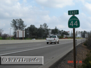
(Eastbound State Route 44 Freeway; Redding , California)
--Photo taken by Carlos Rogers c. 2000s
✔
Viatype:
S4-D
Map Location:
40.58469, -122.35181
Redding and southwestern Lassen County serve as State Route 44's termini.
Next photo>>>
Share with:
Share information about this road!
Distance Chart for
California 44
Lassen National Forest
70
Redding, California
111
181
Susanville, California
Approximate distance in km
(1 km = 0.621 miles)