United States
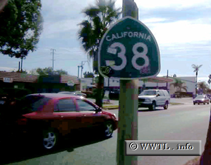
(Southbound Orange Street; Redlands, California)
--Photo taken by Carlos Rogers c. 2000s
✔
Viatype:
S4-D
Map Location:
34.06941, -117.18256
State Route 38, an east-west route in southern California, connects Redland with Big Bear Lake.
Share with:
Share information about this road!
Distance Chart for
California 38
Fawnskin, California
15
Redlands, California
90
75
Sugarloaf Mountain, Calif.
Approximate distance in km
(1 km = 0.621 miles)