| | 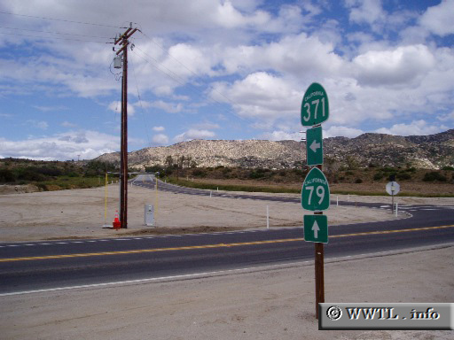
(Junction State Route 371; Aguanga, California)
--Photo taken by Dan Peri c. 2000s ✔
Viatype:S4-D
Map Location: 33.44218, -116.8635
Route 371 connects the San
Bernardino and Cleveland National Forests. The route is usually traveled
by tourists in early spring months, when desert blossoms are blooming.
| |