| | 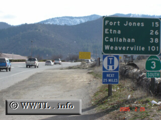
(Southbound State Route 3; Yreka, California)
--Photo taken by Carlos Rogers c. 2000s ✔
Viatype:S4-D
Map Location: 41.6986, -122.64799
State Route 3 connects Peanut with the southern outskirts of Yreka. Near its
crossing with the Trinity-Siskyou line, the route comes into contact with the
Pacific Crest National Scenic Trail.
| |