| | 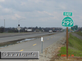
(Eastbound State Route 299 Freeway; Redding, California)
--Photo taken by Carlos Rogers c. 2000s ✔
Viatype:S4-D
Map Location: 40.61313, -122.35831
State Route 299, formerly known as Federal Route 299, connects Humboldt with Modoc
Counties. The route actually spans all the way to the Nevada border, where
it allegedly continues as a dirt road.
Next photo>>>
| |