| | 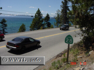
(Westbound State Route 28; Placer County, California)
--Photo taken by Carlos Rogers c. 2000s ✔
Viatype:S2-U
For its entire journey, Highway
28 hugs the north shore of Lake Tahoe. Its sister route is Nevada State
Route 28, which extends this same path east of the California border.
Next photo>>>
|
|