| | 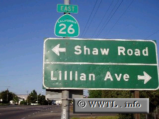
(Eastbound State Route 26; near Stockton, California)
--Photo taken by Dan Peri c. 2000s ✔
Viatype:S2-U
Map Location: 37.97113, -121.24268
Beginning its journey in
eastern Stockton, Highway 26 travels east into the Sierra Nevada foothills and
into the town of Linden. Strangely enough, at its eastern terminus, the
eastbound path's orientation is west.
| |