| | 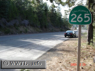
(Northbound State Route 265; Weed, California)
--Photo taken by Carlos Rogers c. 2000s ✔
Viatype:S2-U
Map Location: 41.42322, -122.39018
As one of the shortest highways in California (~0.5 miles), State Route 265 serves as
a connector between Federal Route 97 and Interstate 5. This route seems more
desirable for "Interstate 5 south to Federal Route 97 north" motorists than any other traveler group.
| |