| | 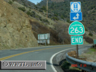
(End Northbound State Route 263; Siskiyou County, California)
--Photo taken by Carlos Rogers c. 2000s ✔
Viatype:S2-U
Map Location: 41.832, -122.59135
State Route 263, once a former stretch of US Federal Route 99, comes into contact with the Klamath
River in Siskiyou County.
Next
photo>>>
| |