| | 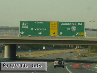
(Jamboree Road @ beginning of State Route 261; Irvine,
California)
--Photo taken by Carlos Rogers c. 2000s ✔
Viatype:F4-D
Map Location: 33.71131, -117.80101
Highway 261 is a toll-road in Orange County, which helps direct Irvine traffic
towards State Route 91.
Next
photo>>>
|
|