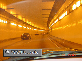
(Westbound Caldecott Tunnel; Alameda-Contra Costa county
line, California)
--Photo taken by Carlos Rogers c. 2000s ✔
Viatype:F4-D
Map Location: 37.86115, -122.21034![]()
Cruising through the Caldecott Tunnel!
Distance Chart for
California 24
California 24
| Oakland, California | |||||
| 15 | Orinda, California | ||||
| 27 | 12 | Walnut Creek, California | |||
Approximate distance in km
(1 km = 0.621 miles)
(1 km = 0.621 miles)