| | 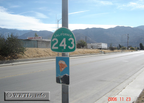
(Southbound San Gorgonio Avenue; Banning, California)
--Photo taken by Carlos Rogers in 2006 ✔
Viatype:S4-D
Map Location: 33.92147, -116.8768
State Route 243 connects Banning and
Mountain Center, via Idyllwild. On southern approach to Idyllwild, the
route faces rapid ascent into a steep mountainous range.
| |