| | 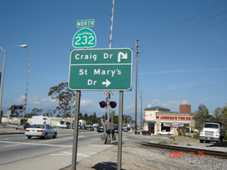
(North Vineyard Avenue; Oxnard, California)
--Photo taken by Carlos Rogers in 2005 ✔
Viatype:S4-D
Map Location: 34.22735, -119.1766
State Route 232 acts as a short connector between State Route 1, Federal Route 101 and State Route 118.
Depending on the hour during the commute week, this artery can sometimes get
congested with high-traffic.
| |