(Beginning of the eastbound Garden Grove Freeway;
Garden Grove, California)
--Photo taken by Carlos Rogers in 2004 ✔
Viatype:F6-D
Map Location: 33.77434, -118.04139![]()
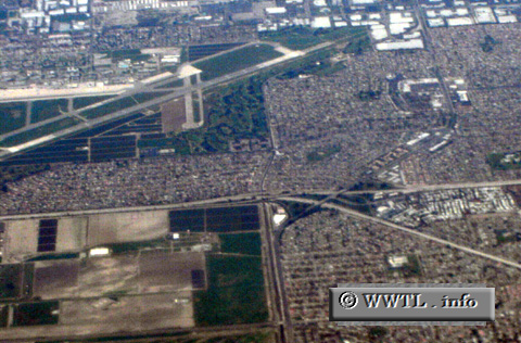
The freeway portion of State Route 22, also known as the Garden Grove Freeway, begins at this freeway junction. She stems from the middle part of the image (above) and moves to the right as a straight line.
Distance Chart for
California 22
California 22
| Cal State Long Beach | |||||
| 25 | Orange, California | ||||
| 13 | 12 | Westminster, California | |||
Approximate distance in km
(1 km = 0.621 miles)
(1 km = 0.621 miles)