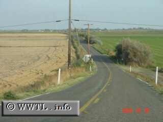
(Beginning of Eastbound State Route 220; Ryer Island, Solano County, California)
--Photo taken by Carlos Rogers c. 2000s ✔
Viatype:S2-U
Map Location: 38.24298, -121.65915![]()
Eastbound State Route 220 enjoys a rapid descent (after its terminus with the State Route 84 levee-road).
Next
photo>>>
<<<Previous
photo
Distance Chart for
California 220
California 220
| Junction California 84 | |||||
| 6.4 | Howard Landing, California | ||||
| 4.1 | 11 | Ryde, California | |||
Approximate distance in km
(1 km = 0.621 miles)
(1 km = 0.621 miles)