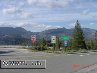
(End of Eastbound State Route 20 [junction Interstate 80];
Placer County, California)
--Photo taken by Carlos Rogers c. 2000s ✔
Viatype:S2-U
Map Location: 39.32471, -120.59946![]()
At the eastern end of Highway 20, there is a scenic view of some Sierra Nevada peaks. During the winter, these peaks are almost always covered in snow.
Next photo>>>
<<<Previous
photo
Distance Chart for
California 20
California 20
| Emigrant Gap | |||||||
| 373 | Fort Bragg | ||||||
| 318 | 56 | Willits | |||||
| 112 | 206 | 261 | Yuba City | ||||
Approximate distance in km
(1 km = 0.621 miles)
(1 km = 0.621 miles)