| | 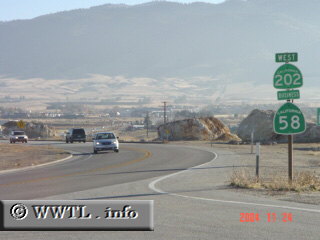
( (Westbound State Route 202/Eastbound State Route 58 Business;
Tehachapi, California))
--Photo taken by Carlos Rogers c. 2000s ✔
Viatype:S4-D
Map Location: 35.14045, -118.46814
While the State Route 58 freeway serves
as Tehachapi Valley's interregional corridor, it does not directly connect to
the city of Tehachapi. Thus, a spur route (State Route 202) is needed to enter
downtown.
| |