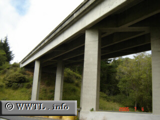
(Junction State Route 200 from Southbound Federal Route 101; McKinleyville, California)
--Photo taken by Carlos Rogers c. 2000s ✔
Viatype:F4-D
Map Location: 40.92099, -124.09857![]()
The overpass is State Route 200.
<<<Previous
photo
![]()
![]()
![]()
![]()
Distance Chart for
California 200
California 200
| Junction California 299 | |||||
| 3.3 | Junction Federal Route 101 | ||||
| 6.7 | 3.4 | McKinleyville, California | |||
Approximate distance in km
(1 km = 0.621 miles)
(1 km = 0.621 miles)