| | 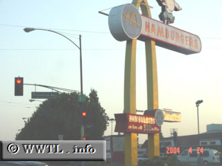
(Southbound Lakewood Boulevard; Downey, California)
--Photo taken by Dan Peri c. 2000s ✔
Viatype:S4-D
Map Location: 33.94741, -118.11741
Although the numbers on
the Highway 19 shield are barely visible at this intersection (likely due
to smog residue), the view of McDonald's golden arches is hard to miss!
| |