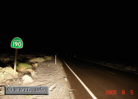
(Eastbound State Route 190; Inyo County, California)
--Photo taken by Carlos Rogers in 2005 ✔
State Route 190 is the main artery to and from the Death Valley National
Park. Its termini are Federal Route 395 (to the west) and State Route 127 (to the east).
Next
photo>>>
![]()
![]()
![]()
![]()
| Distance Chart for California 190
Approximate distance in km (1 km = 0.621 miles) | ||||||||||||||||||