United States
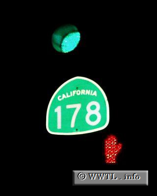
(Westbound Highway 178.; Bakersfield, California)
--Photo taken by Dan Peri c. 2000s
✔
State Route 178 connects the citizens of Bakersfield with the Sequoia National Forest.
Share with:
Share information about this road!
Distance Chart for
California 178
Bakersfield, California
69
Lake Isabella, California
101
170
Ridgecrest, California
Approximate distance in km
(1 km = 0.621 miles)