| | 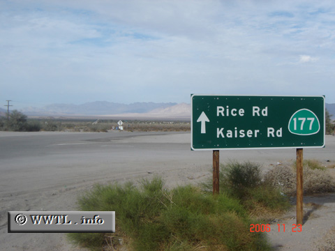
(Northbound State Route 177; Desert Center, California)
--Photo taken by Carlos Rogers in 2006 ✔
Viatype:S2-U
Map Location: 33.71313, -115.40031
In the California Mojave
desert, State Route 177 acts as a relatively long cutoff between Interstate 10 and State Route 62.
Both traffic and scenery are barren throughout its routing.
| |