Junction Federal Route 101. Straight ahead is the former campus of Hopland High
School.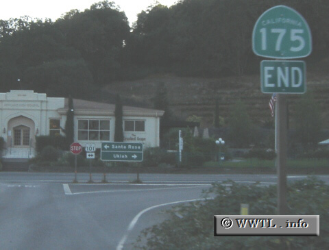
(End Westbound State Route 175; Hopland, California)
--Photo taken by Carlos Rogers c. 2000s ✔
Viatype:S2-U
Map Location: 38.97121, -123.11654![]()
![]()
![]()
![]()
![]()
Distance Chart for
California 175
California 175
| Hopland, California | |||||
| 33 | Kelseyville, California | ||||
| 39 | 72 | Middletown, California | |||
Approximate distance in km
(1 km = 0.621 miles)
(1 km = 0.621 miles)