State Route 167 is a desert-route in the
eastern Sierra Nevada. Along its path, the northern skirts of Mono Lake
are followed; the route's terminus is at the Nevada border.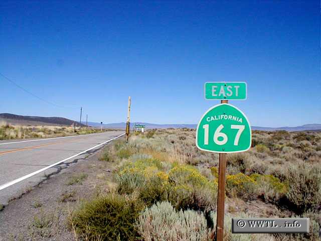
(Eastbound State Route 167; Mono County California)
--Photo taken by Glenn Pillsbury c. 2000s ✔
Map Location: 38.04555, -119.15978![]()
![]()
![]()
![]()
![]()
| Distance Chart for California 167
Approximate distance in km (1 km = 0.621 miles) | ||||||||