| | 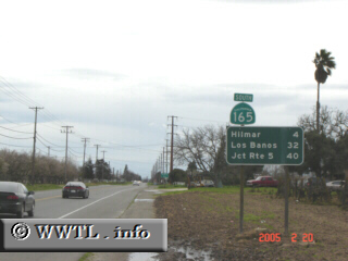
(Southbound State Route 165; Stanislaus County, California)
--Photo taken by Carlos Rogers c. 2000s ✔
Viatype:S4-D
Map Location: 37.47135, -120.84902
Route 165 allows a smooth connection between Turlock and State Route 152; conversely
State Route 152 and State Route 99 (the main artery in and out of Turlock) use a more acute-angle
at their junction.
Why travel two legs of a triangle when you can travel the hypotenuse?
| |