United States   

 
(Eastbound Garces Highway; Delano, California)
--Photo taken by Carlos Rogers in 2006
Viatype:S2-U
Map Location: 35.7614, -119.24807

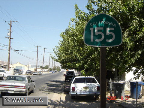
State Route 155 connects the hot-temperatured Central Valley with the southern Sierra Nevada at Keyesville. 

Share with:
XFacebookWhatsAppReddit


Distance Chart for
California 155
Alta Sierra, California
129Delano, California
16940Lake Isabella, California
Approximate distance in km
(1 km = 0.621 miles)