| | 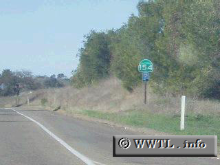
(Northbound State Route 154, Santa Barbara County, California)
--Photo taken by Dan Peri c. 2000s ✔
Viatype:S2-U
State Route 154 cuts through the Santa
Ynez mountains, and provides an alternate corridor for US 101 motorists in Santa
Barbara County. One interesting feature of this highway shield picture is
a the use of a two-digit California shield, while three digits somehow are
"squeezed" in.
|
|