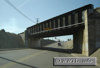
(Southbound Front Street; Soledad, California)
--Photo taken by Carlos Rogers in 2005 ✔
Map Location: 36.42231, -121.32333![]()
Nearing its western terminus with Federal Route 101, State Route 146 crosses under a Southern
Pacific rail-line.
Distance Chart for
California 146
California 146
| Junction Federal Route 101 | |||||
| 17 | Pinnacles Nat'l Park | ||||
| 0.8 | 16 | Soledad, California | |||
Approximate distance in km
(1 km = 0.621 miles)
(1 km = 0.621 miles)