| | 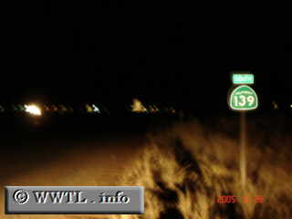
(Southbound State Route 139; Siskiyou County, California)
--Photo taken by Carlos Rogers c. 2000s ✔
Viatype:S2-U
Map Location: 41.99783, -121.51906
Highway 139 acts as an important artery between southern Oregon and Reno,
Nevada. Motorists from the Klamath Falls region generally travel down this
route towards State Route 299 East, and eventually Federal Route 395 South to reach Nevada's
"Biggest Little City in the World".
| |