| | 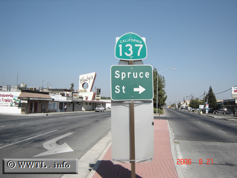
(Eastbound Tulare Avenue; Tulare, California)
--Photo taken by Carlos Rogers in 2006 ✔
Viatype:S4-D
Map Location: 36.21109, -119.32664
Route 137 cuts through the
south-central portion of the San Joaquin ("Central") Valley.
Along its path, connections are made with Corcoran, Tulare and Lindsay.
Roughly mid-way into the route, an interchange is formed with State Route 99.
| |