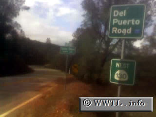
(Westbound Del Puerto Canyon Road; Santa Clara
County, California)
--Photo taken by Carlos Rogers c. 2000s ✔
Map Location: 37.39161, -121.45038![]()
Starting at the Santa Clara County and Stanislaus County line, the State Route 130
extension stretches through the San Antonio Valley up to a summit called Mount
Hamilton. Upon the summit, the route converts into the real State Route 130 which
carries motorists into downtown San Jose.
| Distance Chart for California 130 Extension
Approximate distance in km (1 km = 0.621 miles) | ||||||||||||||||||