| | 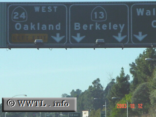
(Northbound Warren Freeway; Oakland, California)
--Photo taken by Carlos Rogers c. 2000s ✔
Viatype:F4-D
Map Location: 37.8434, -122.22571
Highway 13 travels through the
Oakland hills, into Berkeley (via Ashby Avenue), and terminates at the
Eastshore Freeway (Interstate 80/580).
|
|