| | 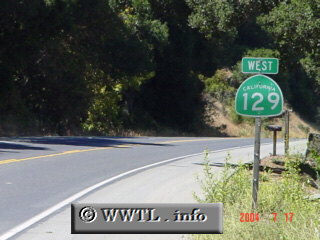
(Westbound State Route 129; San Benito County, California)
--Photo taken by Carlos Rogers c. 2000s ✔
Viatype:S2-U
Map Location: 36.88734, -121.56503
Route 129 spans ~20 miles from one end to the
other, connecting Watsonville with the vicinity of San Juan Bautista.
|
|