| | 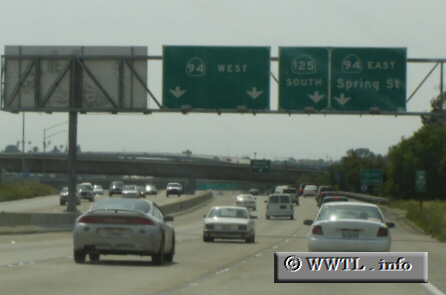
(Southbound State Route 125 Freeway @ junction State Route 94; La Mesa, California)
--Photo taken by Carlos Rogers c. 2000s ✔
Viatype:F6-D
Map Location: 32.75839, -117.00595
State Route 125 is a north-south freeway in the eastern metro-San Diego region.
Future plans call for a southern connection with State Route 905 near the Otay Mesa
(Mexican) border crossing, in which its extension will charge a toll for both
passenger and freight vehicles.
| |