United States   

 
(Eastbound State Route 120; Tuolomne County, California)
--Photo taken by Dan Peri c. 2000s
Viatype:S2-U

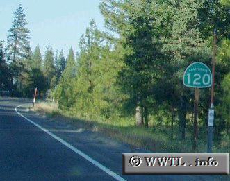
Highway 120 connects Manteca and SF Bay Area motorists with the Yosemite Nat'l Park.

Next photo>>>
Share with:
XFacebookWhatsAppReddit


Distance Chart for
California 120
Manteca, California
34Oakdale, California
116150Yosemite Nat'l Park
Approximate distance in km
(1 km = 0.621 miles)