| | 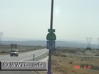
(Westbound State Route 119.; Kern County, California)
--Photo taken by Dan Peri c. 2000s ✔Viatype:S2-U
Map Location: 35.26709, -119.22909
Pumpkin Center is the control
point for State Route 119--a relatively "sleepy" east-west highway which
interchanges with Interstate 5.
Next Page>>>
| |