| | 
(Northbound Terminal Island Freeway; Los
Angeles, California)
--Photo taken by Carlos Rogers in 2005 ✔
Viatype:F4-D
Map Location: 33.77668, -118.23619
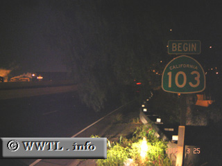
Shortly after State Route 47 North crosses into L.A. city-limits, its
number-designation changes to State Route 103. This small route provides freight-trucks a
connection between Terminal Island (a mammoth seaport in L.A's South Bay) and
the Pacific Coast Highway.
Next
photo>>>
| |