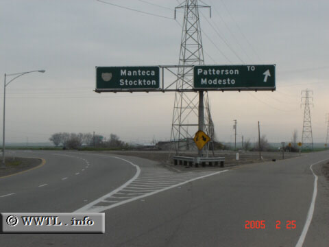
 (Eastbound Eleventh Street; San Joaquin County, California) --Photo taken by Carlos Rogers c. 2000s ✔ Viatype:S4-D Map Location: 37.73977, -121.37055 Remnants from an earlier era! This overhead-signage predates the 1970s. When it was first erected, there was a Federal Route 50 reassurance shield for Manteca/Stockton traffic (where presently, a washed-out Bus. 205 shield stands in its place); for motorists heading towards Patterson and Modesto, the right-hand split was the actual start-point of CA-33. |