(Northbound Fourth Ring Road; Beijing
municipality)
--Photo taken by Eran Propper c. 2000s ✔
Viatype:F4-D
Map Location: 39.90365, 116.48377![]()
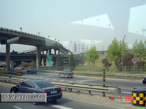
The Fourth Ring Road is approximately nine kilometres inland of city-centre. The route is commonly used by local businesspersons, local residents of mid-to-high socioeconomic status and international tourists alike. Pictured above is the three-level Sihui Bridge.
| Distance Chart for Beijing 4th Ring Road
Approximate distance in km (1 km = 0.621 miles) | ||||||||||||||||||