A few kilometres into its
southbound journey, Route 1 loses its freeway status. Here, a local mark
serves the needs of a dense housing project.
Next photo>>>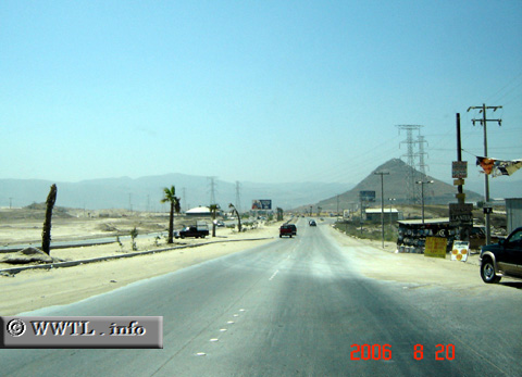
(Southbound State Route 201; Tijuana, Baja
California)
--Photo taken by Carlos Rogers in 2006 ✔
Viatype:S4-D
English |
español
<<<Previous
photo
![]()
![]()
![]()
![]()
Distance Chart for
Baja California 201
Baja California 201
| El Refugio, Tijuana | |||||
| 9 | Junction Federal Route 2D | ||||
| 33 | 42 | Popotla, Rosarito | |||
Approximate distance in km
(1 km = 0.621 miles)
(1 km = 0.621 miles)