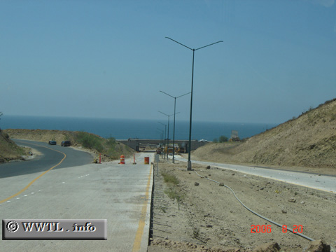
(End Southbound State Route 201; Rosarito, Baja
California)
--Photo taken by Carlos Rogers in 2006 ✔
Viatype:S4-D
Map Location: 32.28661, -117.02732![]()
Big Blue appears as Route 201 reaches its southern terminus. In the future, the route will have full-, high-speed-access to Federal Route 1D.
Distance Chart for
Baja California 201
Baja California 201
| El Refugio, Tijuana | |||||
| 9 | Junction Federal Route 2D | ||||
| 33 | 42 | Popotla, Rosarito | |||
Approximate distance in km
(1 km = 0.621 miles)
(1 km = 0.621 miles)