(End Eastbound Route 23; Maneadero, Baja California)
--Photo taken by Carlos Rogers c. 2000s ✔
Viatype:S2-U
Map Location: 31.72741, -116.57844![]()
English |
español
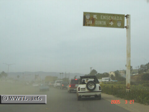
End Route 23. Since many Mexican and American motorists celebrated
Easter 2005 at the resort location of La Bufadora, southbound traffic jammed to
a halt on the afternoon this picture was taken. Some adventurous motorists
decided to forge the unpaved frontage road to quickly reach Federal Route 1, which to the
disadvantage of Route 23 motorists, had large amounts of dirt and dust drifting
across the pavement.
Distance Chart for
Baja California 23
Baja California 23
| Cabo Punta Banda, Baja California (B.C.) | |||||
| 9.5 | La Bufadora, B.C. | ||||
| 11 | 21 | Rodolfo Sánchez Taboada, B.C. | |||
Approximate distance in km
(1 km = 0.621 miles)
(1 km = 0.621 miles)