| | 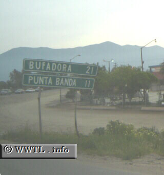
(Westbound Route 23; Maneadero, Baja California)
--Photo taken by Eric Lozaga c. 2000s ✔
Viatype:S2-U
Map Location: 31.72752, -116.57853 English |
español
English |
español
State Route 23, an unsigned
highway in the northwestern portion of the state, connects metro-Ensenada
motorists with Punta Banda. For a majority of its routing, Route 23 bisects a
sharp peninsula which is located to the southwest of Ensenada city.
Next
photo>>>
| |