| | 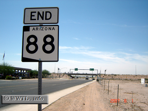
(End Eastbound State Route 88; Apache Junction, Arizona)
--Photo taken by Carlos Rogers in 2007 ✔
Viatype:S4-D
Map Location: 33.3889, -111.54617
Route 88 connects the Phoenix
suburb and western Pinal County city of Apache Junction with the Theodore
Roosevelt Dam.
| |